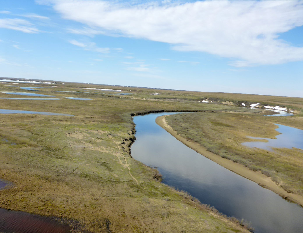
- Station Name:
- Ini-005
- Latitude:
- N 70.018°
- Longitude:
- W 153.186°
- Elevation:
- 37.9 masl
- Lake Area:
- 4.9 ha
- Mean Depth:
- 2.1 m
- Record:
- 2011-2014 (discontinued)
- Purpose:
One of many oxbow (floodplain) lakes along rivers of the FCW. Very low dissolved oxygen and the presence of overwintering stickleback was often notable here. This site was also part of the Circum-Arctic Lake Observation Network (CALON) from 2012-2014.

Select Published Studies on Ini-004:
- Jones, B. M., C. D. Arp, M. S. Whitman, D. Nigro, I. Nitze, J. Beaver, A. Gadeke, C. Zuck, A. Liljedahl, R. Daanen, E. Torvinen, S. Fritz, G. Grosse. 2017. A lake cover classification to guide research and inform management decisions in an arctic watershed in northern Alaska experiencing climate and land-use change. Ambio. DOI:10.1007/s13280-017-0915-9
- Leppi, J. C., C. D. Arp, and M. S. Whitman. 2015. Predicting late winter dissolved oxygen levels in Arctic lakes using morphology and landscape metrics.Environmental Management. DOI:10.1007/s00267-015-0622-x